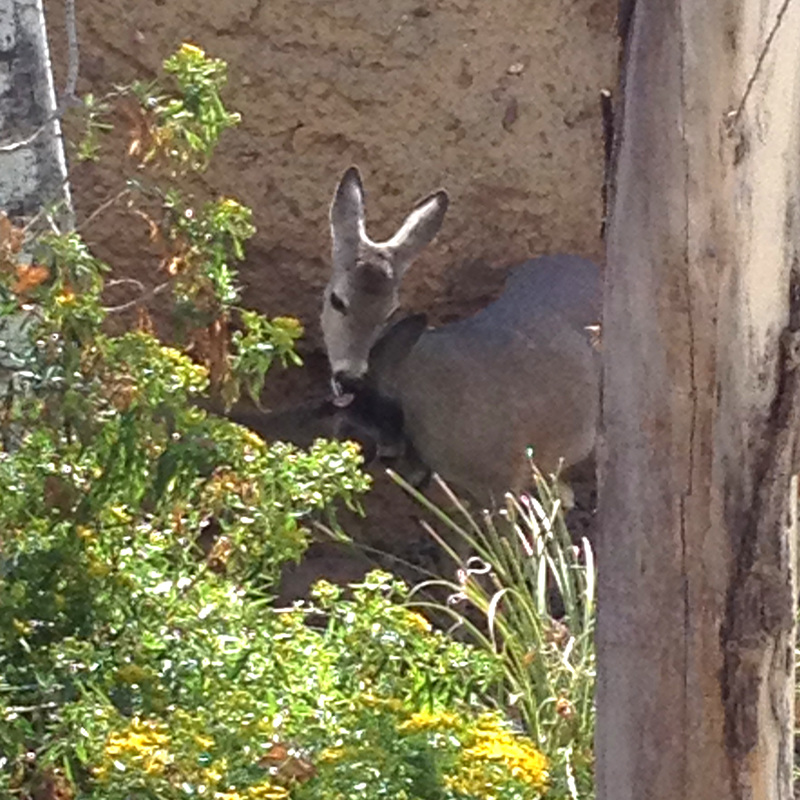
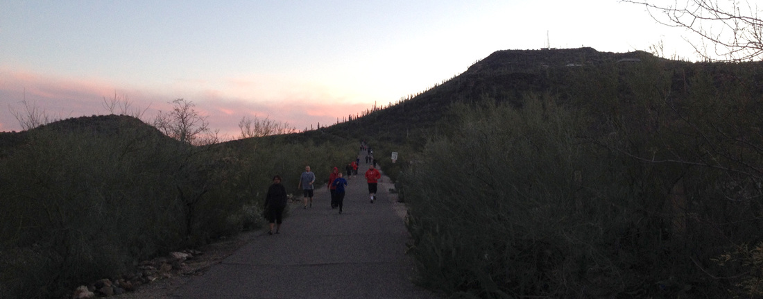
Okay first of all, these roadrunners are everywhere but exceedingly difficult to photograph:
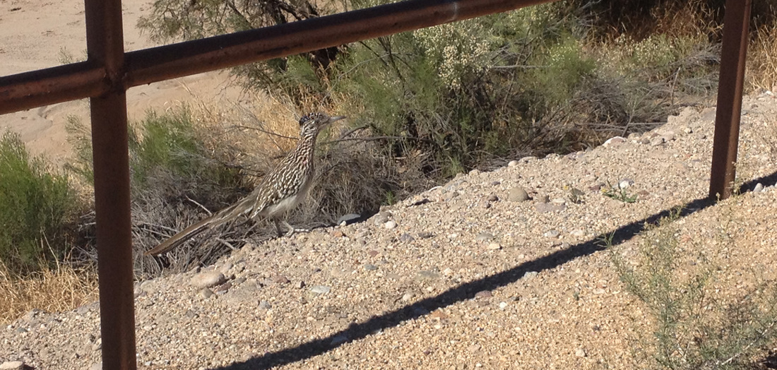
And well camouflaged.
But on to the main topic, construction archaeology. The law of this land states that any development or construction must be preceded by an archaeological survey to protect artifacts and evidence of ancient peoples. Why? Because humans have been living in this area for thousands and thousands of years and we want to learn as much as we can about how they lived. This means, however, that construction sites are tourist attractions.
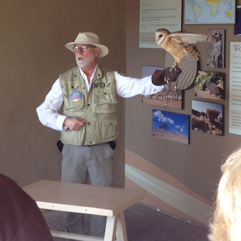
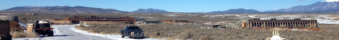
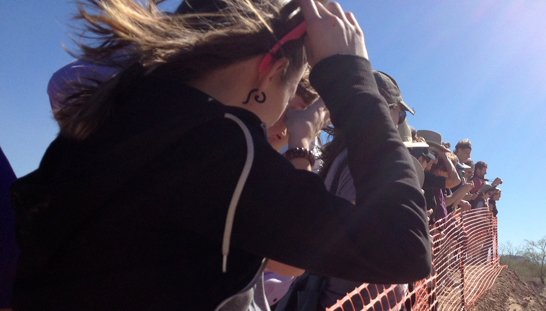 Tourist attractions that draw a crowd. Tours were given of this site last Friday, Saturday, and Sunday, as well as this Friday, Saturday, and Sunday. About 500 people showed up each of those days. | 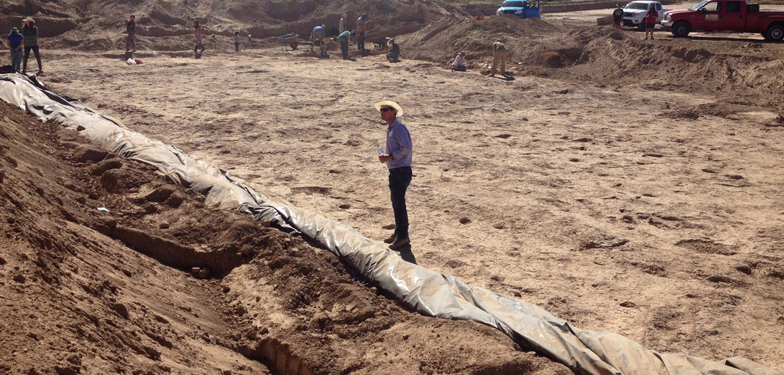 The be-cowboyhatted man center stage is standing on a 2500 to 3000 year old farm, complete with human footprints preserved in now rock-hard mud. |
While getting ready to construct a new road and bridge, an excavator found a layer of clay-like hardened mud, and upon closer inspection discovered footprints. The archaeologists that descended upon the site found footprints belonging to two adults, one toddler, and a dog or coyote. The date of the site was determined by depth underground and layers of sediment.
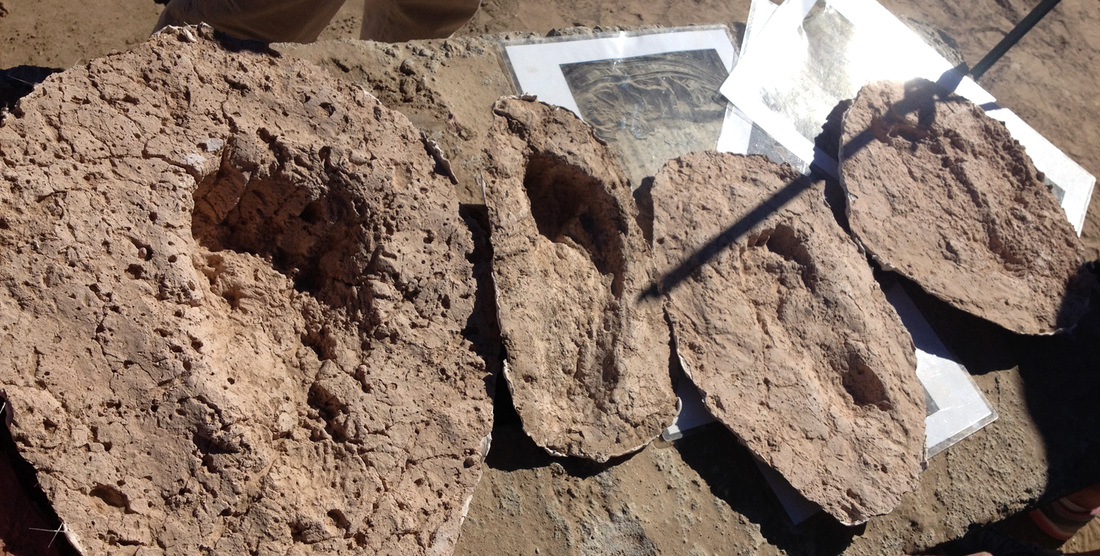
We only got close to reproductions of the footprints at the premises, but you dear reader can walk among them virtually (note that the website states that the model is from 1995, when in actuality they were discovered Dec. 7 2015). The entire area was photographed aerially, 3D scanned, and then reproduced in a 3D program. Anyone with good enough internet can view it online.
If you're curious about the farming, read on. If not, TL;DR version: 3000 years ago people farmed next to the river. Flood happened. Very bad. Farm got covered in sand and mud, protecting footprints from further farming and almost 3000 years of animals, rains, people, etc.
Still with me? Man you must have a lot of time on your hands. So, 2500 to 3000 years ago, the community that lived in this area used flood-water farming. You can read somebody's boring paper on flood-water farming here. The farmers measure out a series of square plots of land, each about 15m square, and surround each plot with an earthen dike. In-between these square plots run a series of small canals, which lead to larger canals, which lead to the closest river. Every day, the farmers tear down dikes blocking the canal and portions of the dikes surrounding the plots of land, allowing water from the river to essentially cover all of the land lower in elevation than the dikes. They then rebuild the dikes blocking the canals, lowering the water level, and then rebuild the dikes surrounding the farming plots. This also provides the plots with nutrients and minerals from the river.
Samples of the mud around the holes where the plants were growing have been sent out to scientists to determine what was being grown in these areas, but the likely crop was corn. It would of course have been an ancestor to the corn we have today; the ears were likely half the size of modern ones. However, the farmers couldn't plant kernels directly into the flood-water plots of land, for there would be too much water, silt, and mud. The sprout wouldn't be able to fight its way to the surface. Instead, the farmers likely started the corn elsewhere, somewhere safe from vermin, and when it was tall enough, brought it down to these plots and planted it in the mud. Much like how rice is planted in paddies.
The site we visited had two of these square plots, with the dikes and canals still intact, though there is evidence that there are more plots right around there. The archaeologists can't do anything about that though until the land on either side needs to be developed, and therefore surveyed.
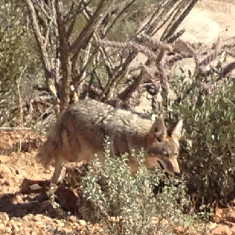
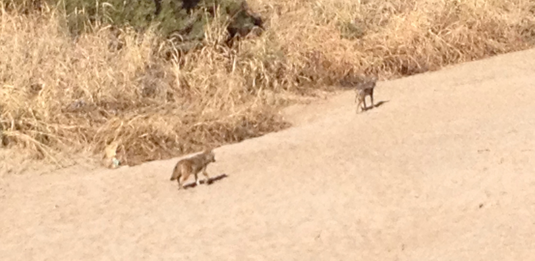
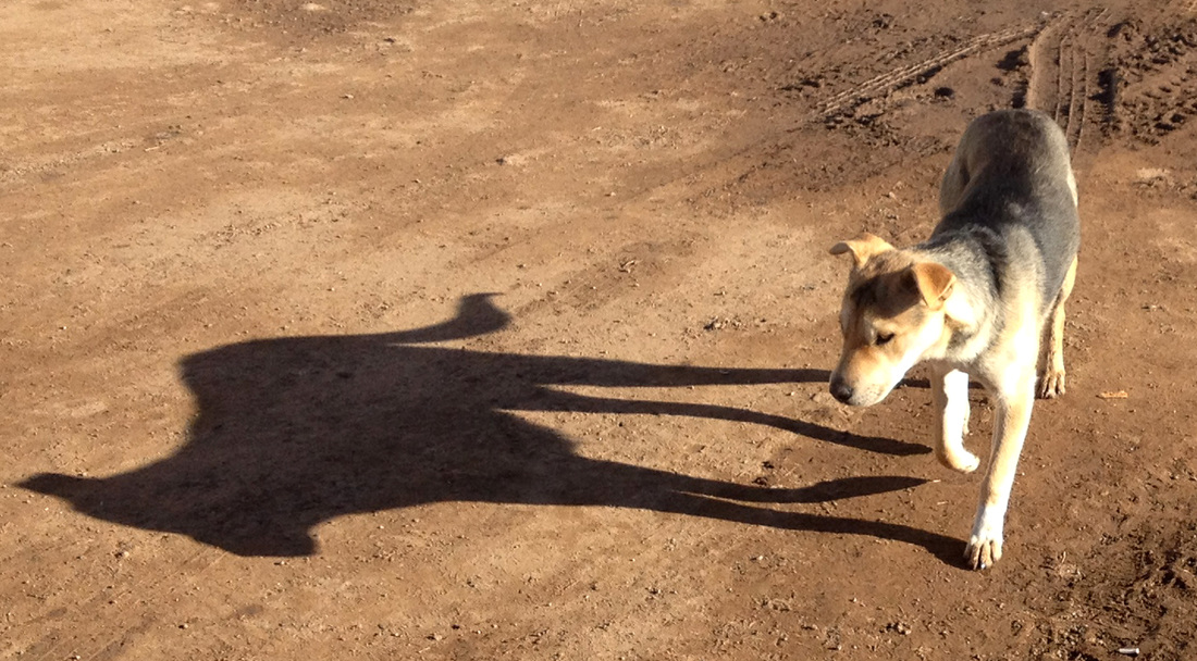
The paw prints in the mud could easily have been from a dog (dogs were definitely domesticated at that time since dog burials from 3000 years ago have been found in the area) or they could be from a coyote wandering around.
These plots of land are preserved because one particularly large flood occurred and covered the entire area, even the dikes, with mud, silt, and sand. The farmers could tell where their plots were (since the floods basically just blanket the entire area, leaving the dikes and canals intact) and continued planting there for a couple more seasons. We can tell this because there are some root marks in the mud from corn that was planted higher and therefore later. Then apparently there were a couple more bad floods, and then the plots fell into disuse.
The plots will not be preserved--the construction is continuing on schedule. The archaeologists act as though there is no way to preserve or move the dried mud, but they've obviously never been to the Aboa Vetus & Ars Nova museum in Turku, Finland where, when medieval buildings were discovered during construction, they built the building directly over the site with support structure all around the outside, allowing them to continue exploring and excavating the ruins in a controlled climate. Of course, an old medieval town has more to excavate than a plot of farm land, so there's not much use preserving the original footprints, but it is possible.
If you're curious about the farming, read on. If not, TL;DR version: 3000 years ago people farmed next to the river. Flood happened. Very bad. Farm got covered in sand and mud, protecting footprints from further farming and almost 3000 years of animals, rains, people, etc.
Still with me? Man you must have a lot of time on your hands. So, 2500 to 3000 years ago, the community that lived in this area used flood-water farming. You can read somebody's boring paper on flood-water farming here. The farmers measure out a series of square plots of land, each about 15m square, and surround each plot with an earthen dike. In-between these square plots run a series of small canals, which lead to larger canals, which lead to the closest river. Every day, the farmers tear down dikes blocking the canal and portions of the dikes surrounding the plots of land, allowing water from the river to essentially cover all of the land lower in elevation than the dikes. They then rebuild the dikes blocking the canals, lowering the water level, and then rebuild the dikes surrounding the farming plots. This also provides the plots with nutrients and minerals from the river.
Samples of the mud around the holes where the plants were growing have been sent out to scientists to determine what was being grown in these areas, but the likely crop was corn. It would of course have been an ancestor to the corn we have today; the ears were likely half the size of modern ones. However, the farmers couldn't plant kernels directly into the flood-water plots of land, for there would be too much water, silt, and mud. The sprout wouldn't be able to fight its way to the surface. Instead, the farmers likely started the corn elsewhere, somewhere safe from vermin, and when it was tall enough, brought it down to these plots and planted it in the mud. Much like how rice is planted in paddies.
The site we visited had two of these square plots, with the dikes and canals still intact, though there is evidence that there are more plots right around there. The archaeologists can't do anything about that though until the land on either side needs to be developed, and therefore surveyed.
The paw prints in the mud could easily have been from a dog (dogs were definitely domesticated at that time since dog burials from 3000 years ago have been found in the area) or they could be from a coyote wandering around.
These plots of land are preserved because one particularly large flood occurred and covered the entire area, even the dikes, with mud, silt, and sand. The farmers could tell where their plots were (since the floods basically just blanket the entire area, leaving the dikes and canals intact) and continued planting there for a couple more seasons. We can tell this because there are some root marks in the mud from corn that was planted higher and therefore later. Then apparently there were a couple more bad floods, and then the plots fell into disuse.
The plots will not be preserved--the construction is continuing on schedule. The archaeologists act as though there is no way to preserve or move the dried mud, but they've obviously never been to the Aboa Vetus & Ars Nova museum in Turku, Finland where, when medieval buildings were discovered during construction, they built the building directly over the site with support structure all around the outside, allowing them to continue exploring and excavating the ruins in a controlled climate. Of course, an old medieval town has more to excavate than a plot of farm land, so there's not much use preserving the original footprints, but it is possible.


 RSS Feed
